





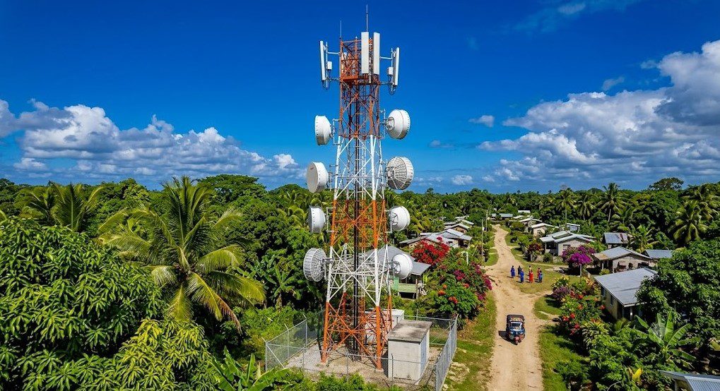
To most Nigerians, a telecom tower appears on a piece of land: many are unaware that before engineers arrive, site acquisition specialists may spend weeks navigating unmapped villages, negotiating with traditional rulers, verifying land ownership and travelling roads not even listed on Google Maps.
Unknown efforts and longstanding challenges in deploying telecom towers in rural Nigeria drive efforts to bridge Nigeria’s connectivity gap, especially in the rural-urban divide. And if Nigeria’s ambition for inclusive digital access is to be achieved, coordinated efforts must be directed at rural settlements.
Yet, internet speed in rural Nigeria has improved in recent years.
A Q1 2026 Quality of Experience (QoE) report by the Nigerian Communications Commission (NCC) and OOKLA showed that rural median upload speed increased by 47.5% to 9.0 Mbps during the quarter. Also, download speed increased by 9.3% to 16.4Mbps in six months.
While gaps persist, efforts to improve connectivity access in rural Nigeria appear tough on paper, but tougher in practice.
Olayinka Amoo, a Site Acquisition Specialist, takes us through the core of rural telephony, most especially the siting of a telecom tower, which he described as the most significant part of erecting a tower in rural Nigeria.

End-to-end: how telecoms towers are installed in rural areas
The expert described rural telephony as a structured, multi-stage process that starts long before any tower is erected. It constitutes the groundwork or “behind the scenes” before a telecom tower is erected in any location.
Below, we analyse each stage:
The mapping, planning and route strategy
Think of siting a tower in rural Nigeria as looking for a fruitful land to farm. The process doesn't start when a farmer begins searching for land. It starts with having an idea of the location that aids the fruit of interest.
For rural telephony, the above is called mapping. Amoo explained that the process begins once the telecom client issues a rollout plan with coordinates of proposed sites. Sometimes, they do not give exact locations or precise states.
All they have to do is work with the coordinates, study the positioning, decide logistics and map out the approach plan. This, according to him, takes days.
“Sometimes they don’t even give you the states. The location we are being given is the coordinates. So, you are the one that will sit, map it out, study what the clients want,” he said.
Before leaving for the coordinate location, the team must carefully plan how they will approach multiple sites. So, they are only working with all options. There’s a need to visit possible sites and decide on which is most suitable.
The preliminary preparation also takes the likely challenges the team might encounter into consideration, such as route planning, risk assessment and understanding the rural community beforehand.

Also Read: Why African telcos need government support for rural network coverage and expansion.
Mobilisation and understanding local guides
Travelling to the rural community is a major operation. Amoo described how difficult it can be to locate a community that doesn’t exist on Google Maps. At that point, navigating your way becomes almost impossible.
“Going to the site, mobilising yourself to the site, that is another strategy on its own. Sometimes, we are telephoning places where Google Maps has not even reached. Sometimes you might even be on your site, and Google Maps is telling you that you are still 10 kilometres away.”
Aside from finding your way around the village, there’s a need for a local guide who helps navigate the unfamiliar terrain. Amoo noted that such are always trustworthy motorcycle drivers (bike men) who are well-versed.
These folks can also serve as translators, local contacts, emergency support, and cultural guides
However, the first official stop is not the landowner; it is with the traditional ruler to register their presence and intentions.
“The first thing you are doing is you are going to look for the community head; sometimes it is the village chief. When you bypass it, you are going to have issues. Those are the custodians of the village,” Amoo noted.
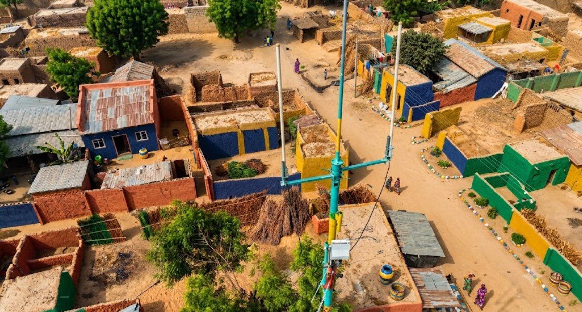
Site inspection and verifications
Once accompanied by community representatives, the team evaluates available plots around the determined coordinates. Amoo explained the technical guidelines and acceptable distance from the client’s coordinates: “Within 1 to 100, it is a well. 100 to 200 is also perfect. Some companies accept 200 to 300 if you give solid reasons.”
Often, you only need to present one option to the telecoms company. At other times, alternative sites are identified, provided in case the owner of the previously selected site is unyielding.
What follows is the land ownership verification. Unlike urban areas, Amoo said rural documentation relies heavily on community validation. He noted that the community letterhead is even stronger than C of O.
“The palace testifies that this person is the owner of this land,” adding that sometimes they consider the legal backing while other times they skip it depending on the setting.
Technical survey and approval
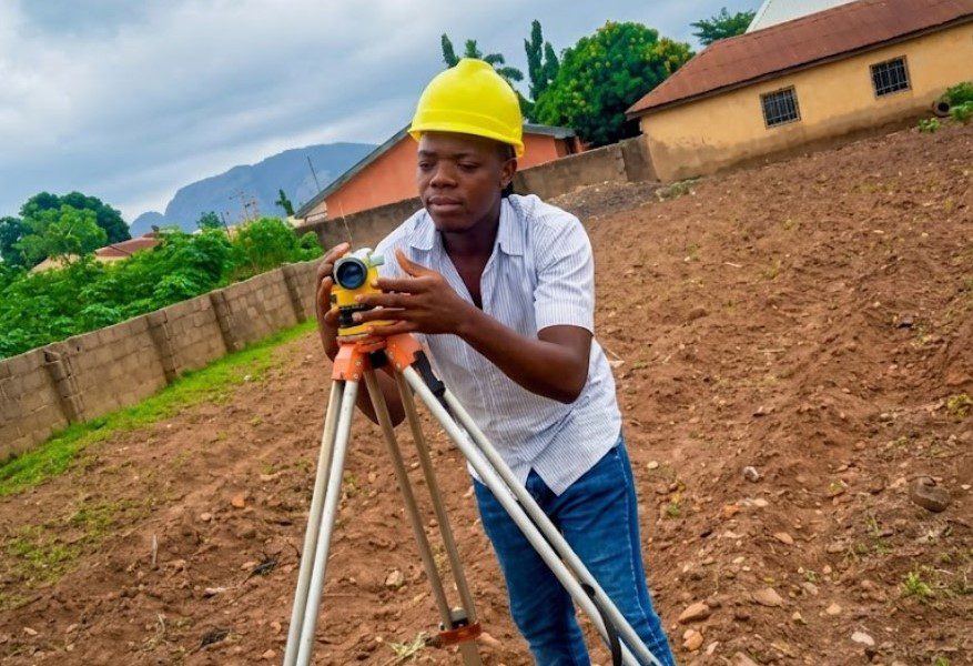
Once ownership is confirmed, the engineers will assess to determine if the selected site is suitable. This exercise involves a technical site survey to determine soil stability, engineering feasibility and tower design requirements.
Amoo explained that these are necessary conditions in the decision-making process. A site must meet the technical requirements that qualify it as fit for situating a telecom tower.
After this, the government is invited for inspections and approval, as construction cannot begin without regulatory approvals. This also includes environmental inspection. This is especially important when communities raise concerns about the project.
Commercial agreement
After technical requirements, government approval and environmental inspection have been completed, the next hurdle is the commercial agreement with the land owner.
Amoo explained that most land is secured either through leasing or outright purchase, depending on the circumstances. But most companies such as ATC, IHS and Huawei always go for leasing on a 5- to 15-year agreement with payment made every 5 years.
He added that “most of the time they base it on a lease unless where it’s required that it is purchased.”
The cost of land sale or lease agreement price differs. Location, terrain, and negotiation status are part of considerations that determine the pricing.
After this comes the construction of the telecom tower by engineers.
